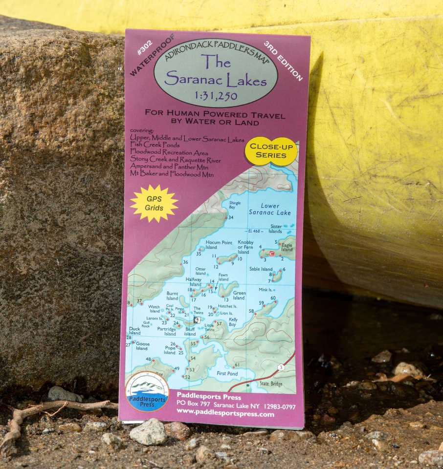
1:31,250 Scale. (1”= 0.5 miles) A detailed view of the entire Saranac Lake Chain, the Fish Creek Ponds Area, and the Raquette River to Tupper Lake.
Part of the Adirondack Paddler's Map series, waterproof and tear-resistant material. Full color, shaded relief and topographic map at a 1:31,250 scale (Approx 1" to 1/2 mile). 18"X24" format folded to approximately 4"x9".
Shows private land, state land, and wilderness designated lands, in different colors. Mountains shown in shaded relief in addition to topographic lines—map is metric. Up to date portages, trails and numbered campsites. UTM Grids. 2nd edition, published in 2018.
Covers these areas: Upper, Middle & Lower Saranac Lake, Fish Creek, Rollins Pond & Floodwood Road Area, Raquette River from Stony Creek Ponds to Tupper Lake, Lake Flower & Oseetah Lakes.