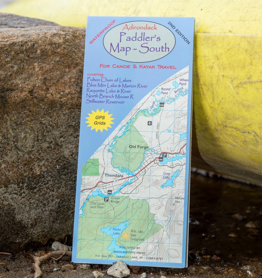
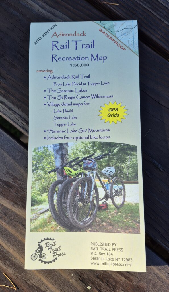
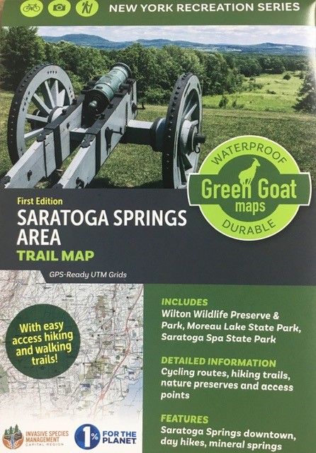
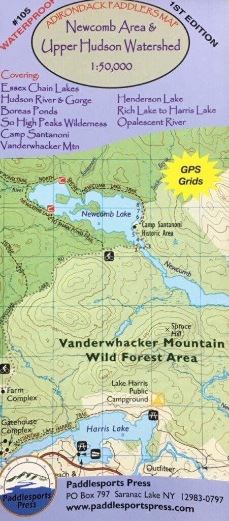
Waterproof and tear-resistant. Full color, shaded relief and topographical map at 1:50,000 scale. Shows private land, state land and wilderness designated lands, in different colors. Mountains shown in shaded relief in addition to topographical lines---map is metric. Up to date portages, trails, and numbered camp sites. GPS Grids. This is the 1st edition, published in 2012.
Covers these areas: Fulton Chain of Lakes, Blue Mountain Lake & Marion River, Raquette Lake & River, North Branch Moose River, Stillwater Reservoir.