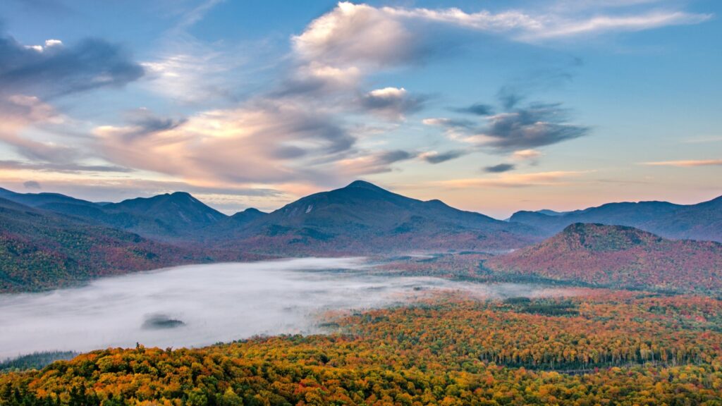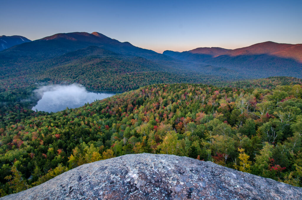
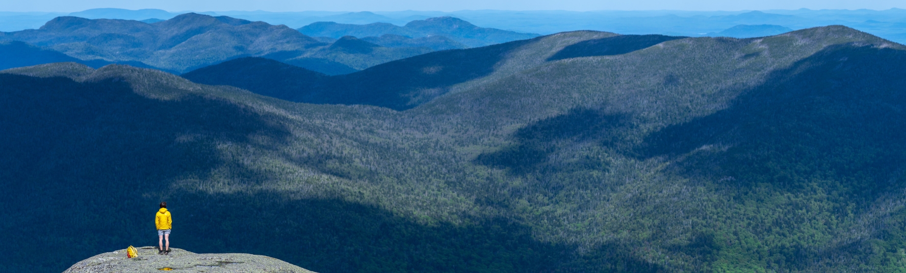
The 46 High Peaks are the mountains over 4000 feet in elevation in the Adirondacks. Those who hike all 46 mountains earn the title of 46er and can apply for a climber number and official letter of congratulations from the Adirondack 46ers, a nonprofit organization.
Table of Contents
Adirondack 46 High Peaks List
High Peaks from Adirondak Loj
High Peaks from Johns Brook Lodge
High Peaks from AMR
Which High Peak Is Easiest?
What About MacNaughton Mountain?
Which High Peaks Are Easiest?
What About MacNaughton Mountain?
Need Help With Trip Planning?
Adirondack 46 High Peaks List (By Elevation)
These are the 46 Adirondack High Peaks in order of elevation:
- Marcy, 5344 feet*
- Algonquin, 5114 feet*
- Haystack, 4960 feet
- Skylight, 4926 feet*
- Whiteface, 4867 feet
- Dix 4857 feet
- Gray 4840 feet*
- Iroquois Peak, 4840 feet*
- Basin, 4827 feet
- Gothics, 4736 feet**
- Colden, 4714 feet*
- Giant, 4627 feet
- Nippletop, 4620 feet
- Santanoni, 4607 feet
- Redfield, 4606 feet
- Wright Peak, 4580 feet*
- Saddleback, 4515 feet**
- Panther, 4442 feet
- Tabletop, 4427 feet*
- Rocky Peak, 4420 feet
- Macomb, 4405 feet
- Armstrong, 4400 feet
- Hough, 4400 feet
- Seward, 4361 feet
- Marshall, 4360 feet
- Allen, 4340 feet
- Big Slide, 4240 feet**
- Esther, 4240 feet
- Upper Wolf Jaw, 4185 feet**
- Lower Wolf Jaw, 4175 feet**
- Street, 4166 feet*
- Phelps, 4161 feet*
- Donaldson, 4140 feet
- Seymour, 4120 feet
- Sawteeth, 4120 feet
- Cascade, 4098 feet
- South Dix, 4060 feet
- Porter, 4059 feet
- Colvin, 4057 feet
- Emmons, 4040 feet
- Dial, 4020 feet
- Grace Peak (East Dix), 4012 feet
- Blake Peak, 3960 feet
- Cliff, 3960 feet
- Nye, 3895 feet*
- Couchsachraga, 3820 feet
A single asterisk denotes the peaks where the Adirondak Loj provides the most direct access.
A double asterisk denotes the peaks where Johns Brook Lodge (JBL) provides the most direct access.
High Peaks Hikes from Adirondak Loj
| High Peaks | One way | Round Trip | Elevation Gain |
|---|---|---|---|
| Mt. Marcy via Van Hoevenberg Trail | 7.4 mi (11.9 km) | 14.8 mi (23.8 km) | 3417′ (1041 m) |
| Gray Peak via Lake Arnold | 8.6 mi (13.8 km) | 17.2 mi (27.6) | 3077′ (939 m) |
| Mt. Skylight via Lake Arnold Trail | 8.6 mi (13.8 km) | 17.2 mi (27.6) | 2745′ (836 m) |
| Marcy, Skylight, & Gray via Van Hoevenberg & Lake Arnold | n/a | 18.3 (29.3 km) | 4300′ (1311 m) |
| Wright Peak | 3.8 mi (6.1 km) | 7.6 mi (12.2 km) | 2401′ (732 m) |
| Algonquin Peak | 4.3 mi (6.9 km) | 8.6 (13.8 km) | 2963′ (895 m) |
| Wright, Algonquin, & Iroquois Peak (Out and Back) | n/a | 11.4 mi ( 18.3 km) | 4412′ (1345 m) |
| Algonquin Loop via Avalanche Pass | n/a | 12 mi (19.5 km) | 2963′ (895 m) |
| Phelps Mt. | 4.4 mi (7.1 km) | 8.8 mi (14.2 km) | 2274′ (693 m) |
| Table Top Mt. | 5.1 mi (8.2 km) | 10.2 (16.4 km) | 2248′ (685 m) |
| Phelps & Table Top | 6.6 mi (10.5 km) | 13.2 mi (21 km) | 3590′ (1094 m) |
| Mt. Colden via Lake Arnold | 6.3 mi (10.1 m) | 12.6 mi (20.2 km) | 2830′ (863 m) |
| Mt. Colden Loop (Up Avalanche Pass down Lake Arnold) | 7.3 mi (11.7 km) | 13.6 mi (21.8 km) | 3430′ (1046 m) |
| Mt. Colden via Lake Colden | 7.3 mi (11.7 km) | 14.6 mi (23.4 km) | 3137′ ( 956 m) |
| Street and Nye | 4.0 mi (6.5 km) | 8.0 mi (13.0 km) | 1987′ (606 m) |
| Mt. Redfield via Lake Arnold | 8.3 mi (13.3 km) | 16.6 mi (26.6 km) | 2939′ (896 m) |
| Cliff and Redfield via Lake Arnold | 9.3 mi (14.9 km) | 18.6 mi (29.8 km) | 3726′ (1136 m) |
| Marshall via Avalanche Pass & Herbert Brook | 7.8 mi (12.5 km) | 15.6 mi (25 km) | 3096′ (944 m) |
| Marshall via Indian Pass & Cold Brook | 7.3 mi (11.7 km) | 14.6 mi (23.4 km) | 2395′ (730 m) |
| Mt. Haystack via Van Hoevenberg Trail | 8.6 mi (13.9 km) | 17.2 mi (27.8 km) | 5524′ (1683 m) |
High Peaks Hikes From JBL
A 3.5-mile walk from the Garden parking lot in Keene will bring you to Johns Brook Lodge—New York’s only backcountry lodge. Owned and operated by The Adirondack Mountain Club, it’s an excellent basecamp for several Adirondack High Peaks:
| High Peak(s) | One Way | Round Trip | Elevation Gain |
|---|---|---|---|
| Big Slide via Slide Brook | 2.7 mi (4.3 km) | 5.4 mi (8.6 km) | 2132′ (650 m) |
| Lower Wolfjaw | 2.5 mi (4 km) | 5 mi (8 km) | 1870′ (570 m) |
| Upper Wolfjaw | 2.9 mi (4.6 km) | 5.8 mi (9.3 km) | 1870′ (570 m) |
| Mt. Marcy | 5.6 mi (9 km) | 11.2 mi (18 km) | 3182′ (970 m) |
| Mt. Haystack | 5.4 mi (8.6 km) | 10.8 mi (17.2 km) | 3116′ (950 m) |
| Gothics via Ore Bed Brook (Cable Route) | 3.7 mi (5.9 km) | 7.4 mi (11.8 km) | 2493′ (760 m) |
| Haystack, Basin, Saddleback Loop | n/a | 12.3 mi (19.7 km) | 5314′ (1620 m) |
| Gothics, Armstrong, Upper, and Lower Wolfjaws Loop | n/a | 9 mi (14.4 km) | 4100′ (1250 m) |
High Peaks Hikes From The AMR
The Adirondack Mountain Reserve (AMR) is a 7000-acre property that is privately owned. It is located just south-east of the Village of Keene Valley and has a parking area along Route 73. Hikers are allowed to visit the trails in the AMR courtesy of a conservation easement agreement with the New York State Department of Environmental Conservation.
Those wishing to access the AMR trailhead between May 1 and October 31 must make a reservation online. Please note The Adirondack Mountain Club is not affiliated with AMR. Any questions about the trailhead and reservations system should be sent directly to AMR.
| High Peak(s) | One way | Round Trip | Elevation Gain |
|---|---|---|---|
| Colvin out-and-back | 5.75 mi (9.23 km) | 11.5 mi (18.5 km) | 2900′ (883.9 m) |
| Dial Mt. via HG Leach Trail | 4.95 mi (7.96 km) | 9.9 mi (15.93 km) | 3645′ (1111 m) |
| Nippletop out-and-back via Elk Pass | 6.45 mi (10.38 km) | 12.9 mi (20.76 km) | 3550′ (1082 m) |
| Sawteeth | 6 mi (9.65 km) | 12 mi (19.3 km) | 3100′ (944.9 m) |
| Blake & Colvin | 7.5 mi (12.07 km) | 15.0 mi (24.1 km) | 4285′ (1306 m) |
| Dial & Nippletop Loop via HG Leach and Elk Pass Trails | n/a | 13.4 mi (21.6 km) | 4160′ (1268 m) |
| Dial & Nippletop out-and-back via HG Leach Trail | 6.85 mi (11.02 km) | 13.7 mi (22.04 km) | 4793′ (1460.9 m) |
| Gothics, Armstrong, Upper and Lower Wolf Jaws Loop | n/a | 9 mi (14.4 km) | 4100′ (1250 m) |
Note: The most efficient way to reach Blake Peak is to go up and over Mount Colvin.
Which High Peak Is The Easiest?
Terms like “easy” and “hard” are subjective. The answer to this question is going to vary depending on the weather, the hiker’s experience, current trail conditions, and much more. At ADK, we provide hikers with objective information like trail distance and elevation gain to help them make informed decisions about their outdoor adventures.
While apps, websites, and guidebooks that provide time estimates and difficulty grades may be useful supplementary resources, they should not be your primary source of information, nor should you trust those time estimates and difficulty grades.
What About MacNaughton Mountain?
The United States Geological Survey measures MacNaughton Mountain, part of the Street Range and due east of the MacIntyre Range, at 4000 feet. While hiking MacNaughton is not a requirement of the 46er Challenge, you can hike to it Bia the Indian Pass Trail from Adirondak Loj.
Need Help With Trip Planning?
ADK is here to help hikers of all skill levels explore the High Peaks in a safe and responsible way. Our High Peaks Information Center next to the Van Hoevenberg Trailhead is great place to have quick questions answers and gear up for your trip.
Those looking for more in-depth trip planning advice can book a 30- or 60-minute session with our Trip Planning Coordinator.